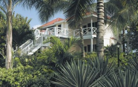
The total area of the country is about 443 sq. km. It is the favorite vacation spot for thousands of tourists thanks to a lot of convenient bays, protected from storms by coral reefs
The island state Antigua and Barbuda is a member of the British Commonwealth. It is situated in West Indies, and is located on the islands of Antigua, Barbuda and Redonda, a group of the Lesser Antilles at 17 degrees to the north of equator. The total area of the country is approximately 443 sq. km. St. Johns is the capital of Antigua and Barbuda. Almost all of the population speaks English. The Queen of Great Britain, represented by Governor-General is a Head of the state.Antigua and Barbuda is a favorite holiday destination for thousands of tourists from Europe and America, thanks to its banks slashed by many sheltered bays, protected from storms by coral reefs. Sugar cane, cotton, citrus and tropical fruits are cultivated on the islands.Antigua, the largest of islands, has an area of over 270 sq. km. The highest point of Antigua (402 meters) is Mount Obama (known as Boggy Peak until August 4, 2009) is to the south-west of the island. Barbuda, the second largest island, is fully built of coral and has an area of about 170 sq. km. The distance between the islands is about 30 miles.Redonda Island, with an area of only about 1 sq. km. is near Barbuda. At Redondo there is natural park, known throughout the Caribbean.The average monthly temperature - from 15 to 33 C.Steady winds blowing here, get stronger only in September. Before the arrival of Europeans, the islands were inhabited by Indians. In 1493 Antigua and Barbuda were discovered by Columbus, and became a Spanish colony. In 1632 Antigua and Barbuda passed under the authority of England. From 1784, on the initiative of the legendary Admiral Nelson, a naval base of Great Britain is located on the islands. British brought African slaves to work on sugar plantations. Slavery was abolished on the islands only in 1834. A naval base and a military airfield the U.S. are located in Antigua since 1940. Antigua and Barbuda have become an independent state in November 1981. Today, Antigua and Barbuda is one of the leading centers of tourism in the Caribbean. The economy of the country is based on tourist industry. Leading U.S. and European tour operators organize tours for newlyweds in Antigua and Barbuda.
Related objects
 |
|
 |
|
 |
|
All tours with a visit to object "Antigua and Barbuda" ![]()
YouTube Broadcast video clips
![]() Antigua: Caribbean Travel
Antigua: Caribbean Travel
![]() Antigua and Barbuda Tourism Video
Antigua and Barbuda Tourism Video


